Rental pricing data loading…
“A wind-and-water town on National Seashore land where the daily rhythm runs on what's blowing and what's biting.”
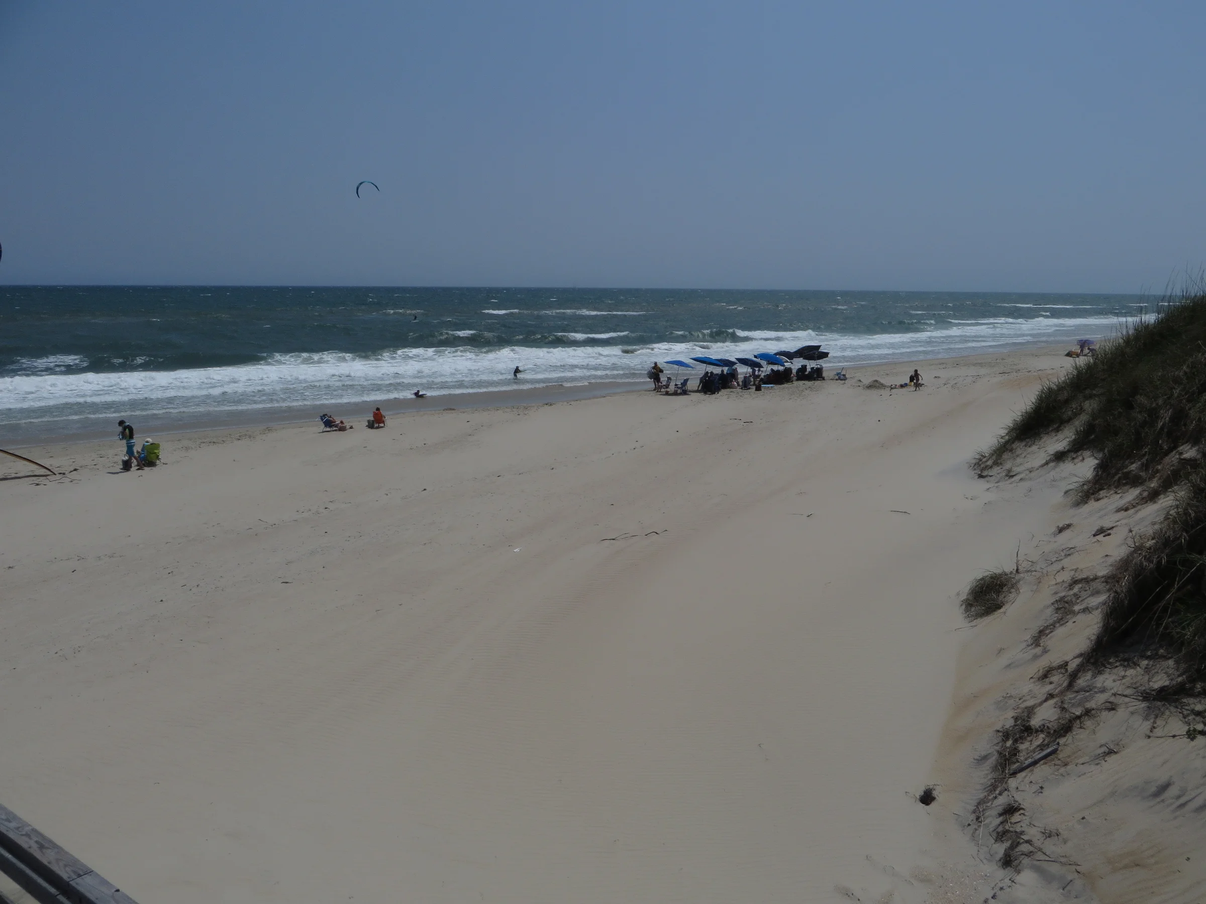
A wind-and-water town on National Seashore land where the daily rhythm runs on what's blowing and what's biting. Avon has the island's only grocery store, a pier with a world-record pedigree, and restaurants that surprise people with their quality — but step onto the beach and it's miles of undeveloped coastline, open sky, and the kind of quiet that the northern OBX left behind decades ago.
People come to Avon for the feeling of being on a real barrier island — not a beach resort, but a place where the wind, water, and fish set the daily rhythm. The houses are comfortable, the restaurants are legitimately good (Bros burgers, Po House's soundfront deck, Pangea's craft beer garden), and the Food Lion means you can stock a kitchen for the week. But what keeps people coming back is what's outside: miles of empty National Seashore beach, world-class kiteboarding at Canadian Hole, a fishing pier with genuine history, and the kind of dark-sky stargazing you can't find anywhere else on the eastern seaboard. Repeat visitors talk about the ritual — airing down the tires, driving onto the beach, setting up camp with nothing but ocean and sky. It's the Outer Banks before the northern towns built mini-golf courses and outlet malls.
What you'll remember
A Typical Day
Anglers who want the full menu — pier, surf, sound, and offshore charters all within reach. Kiteboarders and windsurfers making the annual pilgrimage to Canadian Hole, where the flat-water sound and consistent wind have drawn an international community for 40 years. Families who want a week of real beach time without the crowds and commercial clutter of the northern OBX — calm sound-side water for small kids, ORV beach access for adventure, and enough restaurants that you don't have to cook every night. Also ideal for couples or groups who want a quieter, more affordable alternative to Duck or Corolla but aren't ready to go full off-grid like Carova.
NC-12 is the only road in and out, and ocean overwash can close it during storms — check weather before you travel and follow NCDOT's Highway 12 updates. The Food Lion gets stripped on Saturday turnovers in summer; stock up before arriving or use Instacart delivery. Most restaurants are seasonal, so off-season visitors (Nov-Apr) will have 6-8 options instead of 20+.
Rental Pricing Guide
Median weekly · Peak summer (Jun–Aug)Full Scorecard
Right Now
Things to Do
Before You Go
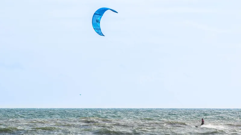
Kiteboarding & Windsurfing at Canadian Hole
Canadian Hole is the East Coast's top kiteboarding and windsurfing spot — flat Pamlico Sound water, steady winds, and three lesson operators in Avon.
The Spot: Canadian Hole (Haulover Day Use Area)
Canadian Hole sits on the Pamlico Sound between Avon and Buxton — a wide, shallow soundfront beach managed by the National Park Service. The name comes from the Canadian windsurfers who discovered it in the 1980s and kept coming back. The water is ankle-to-knee-deep near shore, gradually increasing to waist-deep over hundreds of yards out, and the prevailing southwest winds blow 15-20 mph most spring and fall afternoons. It's the reason Hatteras Island appears on every serious kiteboarder's bucket list.
When to Go
Spring (April-June) and fall (September-November) are prime season. Winds are steadiest, air temps are comfortable, and the water is warm enough without a thick wetsuit. Summer works too — afternoon thermals kick in most days — but winds are lighter and less consistent. Winter has the strongest wind days but water temps drop into the 50s and the shops are closed.
Lesson Operators in Avon
Three IKO/PASA-certified schools operate out of Avon, all teaching on the Pamlico Sound. Most beginners need 6-9 hours of instruction (two to three sessions) before riding independently. Book ahead in summer — slots fill up weeks in advance.
Windsurfing & Wing Foiling
Canadian Hole was a windsurfing destination long before kiteboarding existed, and it still draws windsurfers from up and down the East Coast. The flat water and steady side-shore winds are textbook learning conditions. Wing foiling (standing on a hydrofoil board while holding a handheld wing) is the newest discipline here and growing fast — OceanAir Sports rents wing foil gear and offers lessons.
Gear & What to Bring
All three lesson operators provide gear for students. If you're bringing your own setup, there's plenty of rigging space on the beach. No trees or power lines to worry about.
Check wind forecasts before planning your session.
Canadian Hole Wind Forecast →Fishing Avon: Pier, Surf & Offshore
Avon sits in the middle of some of the best fishing water on the East Coast — a legendary pier, miles of National Seashore surf, and the Hatteras offshore fleet 30 minutes south.
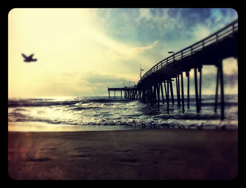
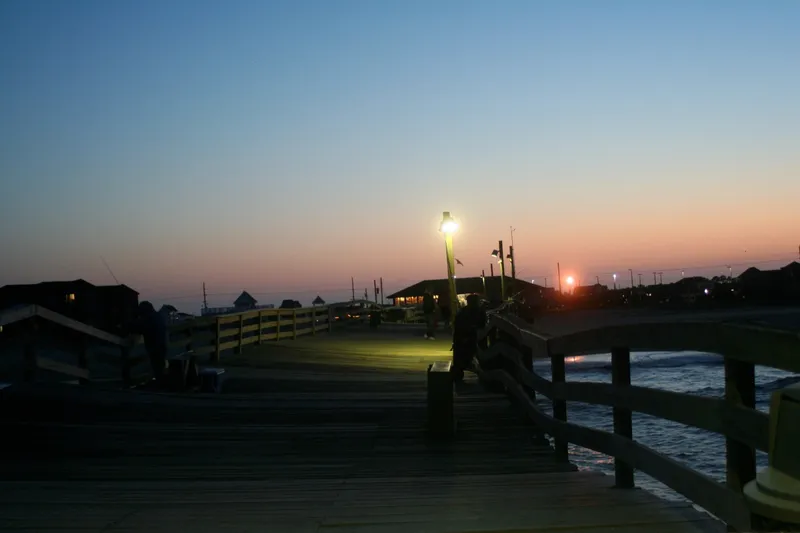
Avon Fishing Pier
The first pier built on Hatteras Island, opened in the early 1960s. It stretches roughly 600-665 feet over the Atlantic and has produced some of the most famous catches in East Coast fishing — including a 94 lb 2 oz red drum in 1984 that still holds the world record. The pier house is staffed with local experts who'll tell you what's biting and what rig to use. No fishing license required to fish from the pier.
Surf Fishing from the National Seashore
Miles of open beach accessible via NPS ramps — many stretches where you'll be the only angler in sight. Hatteras Island is where serious East Coast surf fishermen make pilgrimages, and Avon puts you right in the middle of it. Cape Point in Buxton (10-12 miles south) is the crown jewel — where the Labrador Current meets the Gulf Stream, creating a species crossroads unmatched on the Atlantic coast.
What's Biting When
Hatteras Island's position at the collision of warm and cold currents means different species show up in waves throughout the year. Here's what to expect by season.
Offshore Charters from Hatteras Village
The Hatteras Village charter fleet operates out of Hatteras Harbor Marina, 30 minutes south of Avon. The Gulf Stream runs closer to shore here than almost anywhere on the East Coast — sometimes as near as 12 miles out — which means shorter runs to blue water and more time fishing. This is world-class offshore territory for yellowfin tuna, wahoo, blue marlin, mahi-mahi, and sailfish.
Daily fishing reports for Hatteras Island, including Avon Pier and Cape Point.
Hatteras Island Fishing Report →Getting to Avon: NC-12 & Hatteras Island Access
NC-12 is the only road to Avon — a scenic two-lane highway that crosses bridges, passes through National Seashore, and occasionally closes in storms. Here's what you need to know.
The Route: Nags Head to Avon
From Nags Head, take NC-12 south across the Basnight Bridge over Oregon Inlet, through Pea Island National Wildlife Refuge, and down through Rodanthe, Waves, and Salvo before reaching Avon — about 45-50 miles and 70-80 minutes in normal traffic. The drive itself is part of the experience: two lanes flanked by ocean and sound, wild horses of Pea Island, and the landscape getting progressively more remote.
Saturday Turnover Traffic
Most Hatteras Island rentals run Saturday to Saturday. Between 10 AM and 2 PM on summer Saturdays, NC-12 south of Oregon Inlet becomes a slow crawl as thousands of renters arrive and depart simultaneously. There's no alternate route — it's one lane in each direction the whole way.
Storm Closures & Road Conditions
NC-12 is a barrier island highway, and storms can close it. Nor'easters (fall-spring) and hurricanes (June-November) are the main culprits. When the road floods or gets covered in sand, NCDOT closes it until crews can clear it — typically within 24 hours for minor events. Major storms can close the road for days. This is the trade-off for staying on Hatteras Island: spectacular remoteness, but one road in and out.
What to Know About the Drive
NC-12 through the National Seashore is unlike any highway you've driven. No cell service in some stretches. No streetlights. Deer and the occasional wild horse may cross the road. Speed limits drop to 35-45 mph through the villages. It's a beautiful drive — but not one to rush.
Check real-time NC-12 road conditions before you drive.
DriveNC.gov Road Conditions →Photos